
Incredible interactive 3D models will preserve centuries of heritage
Two of Ireland’s most historic walled towns – Kilmallock in County Limerick and Derry/Londonderry in Northern Ireland – have been digitally recreated in stunning detail thanks to pioneering technology developed at the University of Bradford.
The project uses advanced scanning techniques to create immersive digital twins of these medieval settlements, capturing everything from towering walls and gateways to hidden roof spaces and historic streets. These interactive models can be explored online, offering a new way to experience heritage while supporting tourism, education and urban planning.
Professor Andrew Wilson, who leads the project, said: “This collaboration between the UK and Ireland is about more than technology, it’s about connecting communities and preserving heritage in a way that’s accessible to everyone. By creating detailed digital twins of Derry and Kilmallock, we’re safeguarding centuries of history while opening up new opportunities for education, tourism and regeneration.”
He added: “We’ve deployed cutting-edge infrastructure funded through the Arts and Humanities Research Council Capabilities for Collections scheme, such as vehicle-mounted laser scanning systems, drones, and mobile mapping, to capture these walled towns in incredible detail. The result is a high-density dataset that can be explored on a mobile phone or integrated into planning and conservation workflows.”
See the Derry 3D model here.
See the Kilmallock 3D model here.
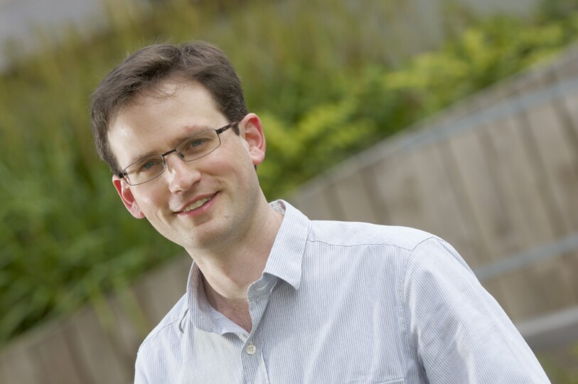
Professor Andrew Wilson. Credits: University of Bradford.
City of Culture connection
The project builds on the success of Virtual Bradford, a high-resolution 3D digital twin of Bradford city centre created by the University of Bradford. That initiative demonstrated how immersive technology can transform urban planning, heritage interpretation and tourism. Now, the same expertise is being applied internationally.
Derry was the first UK City of Culture in 2013, while Bradford proudly holds the title for 2025. Linking these two places through digital heritage is a powerful statement about cultural exchange and innovation.
Mayor of Derry welcomes the project
The Mayor of Derry City and Strabane District Council, Councillor Ruairí McHugh, officially unveiled the project at a special launch event at Ulster University, marking a significant milestone in preserving and sharing the city’s rich heritage with global audiences.
Speaking at the launch, the Mayor said: “Today marks an exciting new chapter in how we preserve, celebrate and share our remarkable heritage. This groundbreaking 3D digital modeling project represents a fusion of our proud past with innovative technology, allowing people from across the world to experience the beauty and historical significance of our Walled City.”
The project is a collaborative effort led by the University of Bradford in collaboration with the University of Limerick, University College Cork, and Derry City and Strabane District Council, funded by the Arts & Humanities Research Council. It features state-of-the-art digital twin technology that creates highly detailed virtual representations of the historic Walled City.
“This initiative demonstrates our commitment to innovation in heritage conservation. By creating these digital twins, we’re not only preserving our history but making it accessible to everyone, whether they’re students in a classroom, researchers across the globe, or curious travellers planning their visit.”
The project has received significant support from heritage organizations including the Friends of the Derry Walls, who have been instrumental in the preservation and promotion of this iconic landmark.
“This is more than just a technological achievement,” added the Mayor. “It’s about building bridges—between past and present, between our local community and the wider world, and between traditional heritage conservation and digital innovation.”
The 3D digital model will serve as both an educational tool and a tourism asset, allowing virtual visitors to explore the Walled City’s architecture, history, and cultural significance from anywhere in the world.
The project aligns with the Council’s broader regeneration strategy and commitment to leveraging technology to enhance cultural tourism and heritage education.
How it works
Using vehicle-mounted laser scanners, drone-based LiDAR, and mobile mapping backpacks, the team captured every detail of streets, gateways, bastions and monuments. The data was stitched together to create interactive 3D models that anyone can explore online. Beyond heritage, these datasets can support planning, regeneration and tourism strategies, making them a valuable asset for local authorities.
Professor Wilson explained: “Although the University of Bradford secured funding for this advanced kit, we see it as a national capability. That means we can deploy it across the UK and Ireland to enhance town planning, cultural engagement and wellbeing. It’s about sharing expertise and infrastructure for the greater good.”
Different is what we do
This work reflects the University of Bradford’s brand ethos: Different is what we do. By combining archaeology, technology and cultural collaboration, the university is redefining how heritage is preserved and shared.